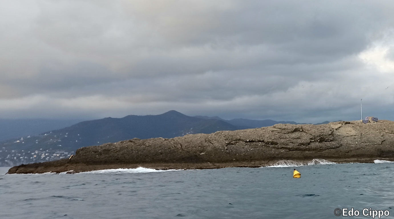
Underwater Landscape Wall & ocean bank
Average depth 30 mt
Visibility good
Current Low/moderate
Marine Envirorment Gorgonias, red coral, sponges, corals
Marine Life Groupers, snappers, eels, scorpion fish, parapandalus shrimps
Shrimps Cave
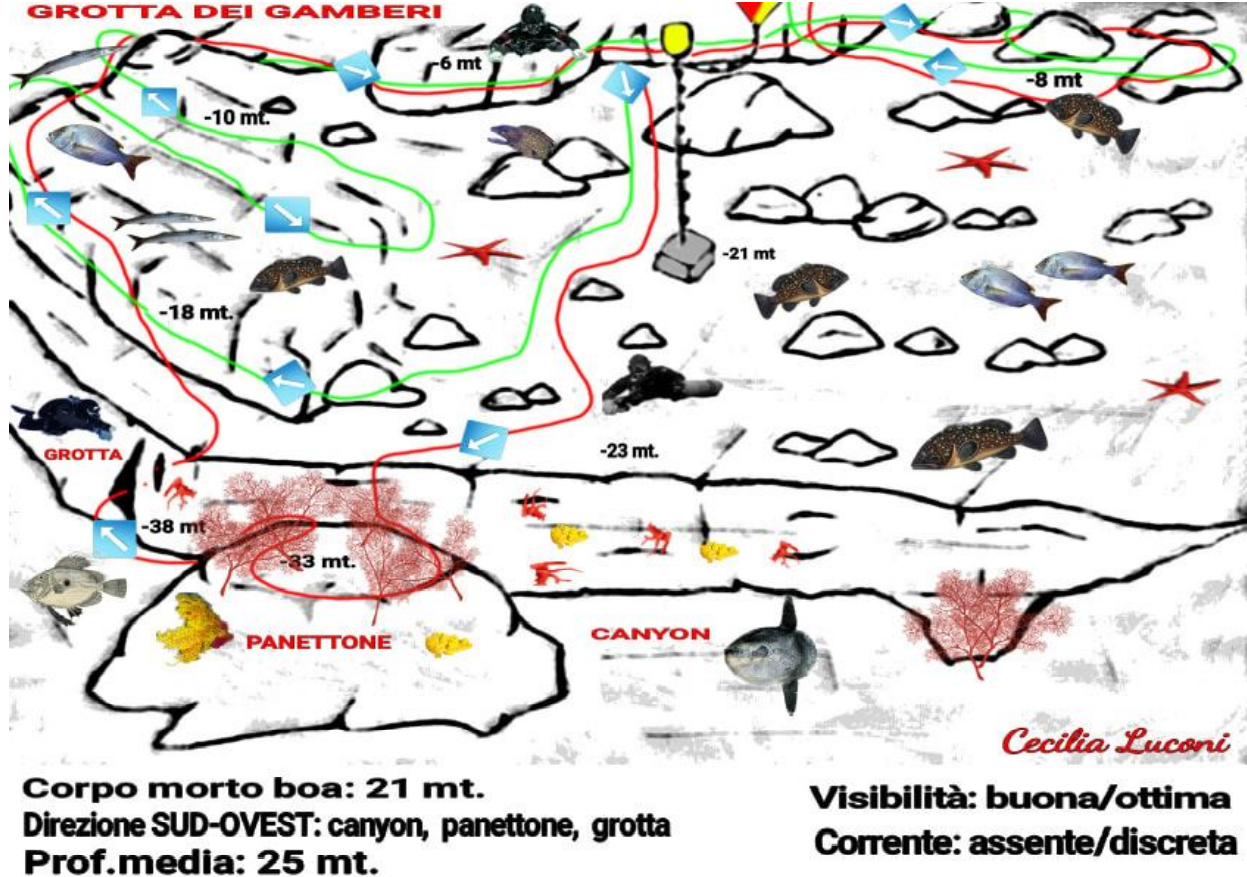
RED PATH (up to – 40 meters)
After the pre-dive check we will descend near the mooring buoy. Once we reach about -20 meters we will begin to swim towards the open sea towards SOUTH-WEST following the course of the seabed covered by posidonia and small boulders among which large specimens of brown groupers and snappers swim. At -23 meters we will arrive on the edge of a drop where will
open a beautiful canyon characterized by a colorful wall. Red coral is present in every slightest crack along with the beautiful sponges.
If the visibility allows it, after having flown over the canyon, we will reach the top of a panettone at a depth of -33 meters covered by wonderful gorgonian branches. In the period of May-June the Moon fishes pass frequently. After having done a good search, we will return to the face where at -38 meters we will find a wide crack: the Shrimp Cave, so named because its walls are totally covered with Parapandalus shrimp. It is also inhabited by crabs, lobsters, sea bream and beautiful red coral. It is possible to enter the narrow cavity only for those who have a CAVERN patent. The exit is located at a depth of about -30 meters. One time
exiting we will go up again until we reach -18 meters, with the wall on the right we will follow the rocky conformation of Punta Chiappa. In this area you can often meet a moderate current that attracts a lot of fish, especially barracudas and snappers on the hunt. It is time to reverse the route and with the wall to the left, we will continue to climb up to -10 meters. Here the morphology of the seabed
it changes abruptly taking on a smooth, gently sloping shape. . Arrived at -6 meters we will still be able to swim towards the interior of the bay. In the summer the surface is populated by swimmers who can reach the Punta on foot or by boat.
After our stop of 3 mn at -5 m we will go up near the boat.
GREEN PATH (up to -18 mt)
After the pre-dive check, instead of going down the chain we will go close to the wall. Once at -6 meters and found a reference point for the return
we will begin to fin with the wall on our right up to -18 meters following the rocky course. We will notice that we have reached the tip due to the presence of the current, sometimes scarce, other times more consistent where some varieties of predators such as snappers and barracudas gather. After admiring these beautiful fish we will begin the return journey with the left wall going up to about -10 meters. Here we will be able to observe and photograph large brown groupers in all their majesty. Here the morphology of the seabed
it changes abruptly taking on a smooth, gently sloping shape. Arrived at -6 meters we will still be able to swim towards the interior of the bay. In the summer the surface is populated by swimmers who can reach the Punta on foot or by boat.
After our stop of 3 mn at -5 m we will go up near the boat.
Cecilia Luconi


